EVIA EARTH Viewer
EVIA Earth Viewer is a free platform which developed by EVIA for partners, it is a part of the EVIA platform with open system and powerful data integration functions, partners may use it for satellite image viewing and some related functions.
We also provide SDK for second development for this platform, if needed, please contact us.
Free downloading is coming soon, thanks for your patience.
EVIA Earth Viewer Profile
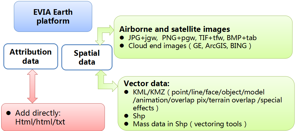
● Data importing:For satellite image, basic attribution info, icons, models, avi. data importing
● Data process:Terrain/model/data release & images, vector data process
● Data integration:For integrating of spatial data, animation data, plotting data and models from outside
● Data release:For the scene data release
Functions of EVIA Earth Viewer
The platform supports:
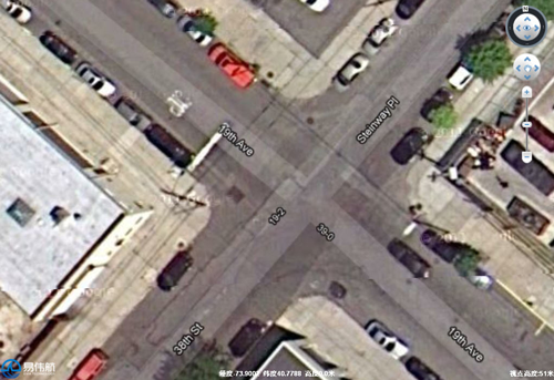
● Worldwide high resolution terrain & image by scale of 1: 500
● 26 types of cloud end data
● 3D models(3ds/dae)
● Batch building vectors import
● KML/KMZ and extended functions
● Mass vector data
● Rich particle system
● Overlap existing thematic map directly
● Integration of attribution database
● Manually add vector elements……
Platform characters:
● Intellectual property rights
● Based on COM, supports C/S&B/S
● Supports C/C++/C#/VB/Java second development
● Integration of video, SMS, MMS, GPS positioning , track integration
● Service end: Linux、full windows series;XP、Win7 etc.
● Seamless integration of 3rd party system
●Supported Data format
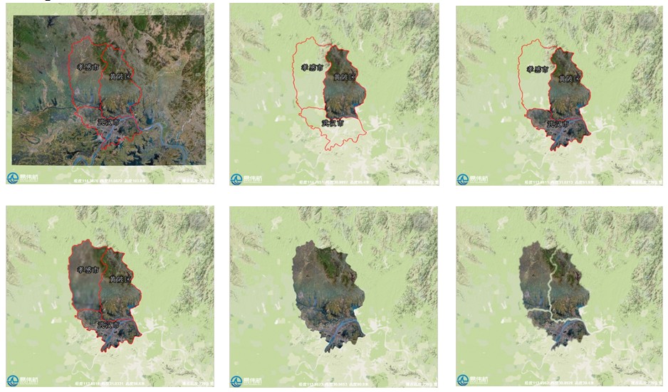
UI samples:
● Image upload
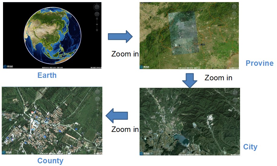
● Zoom in:
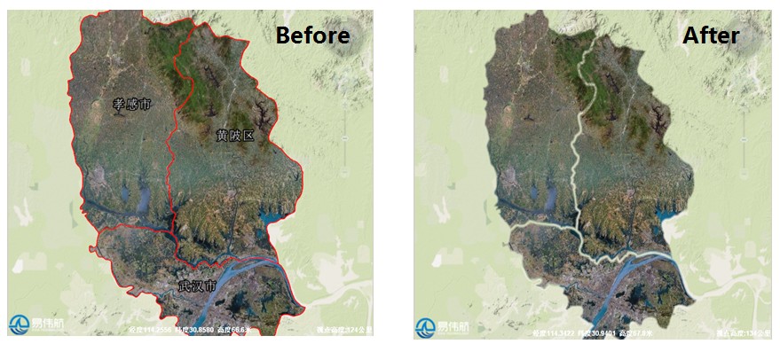
● Image cut
● Image feathered process